Table of Contents
List of Tables
3.5.1 Introduction
MODIS is not an operational data source at the Canadian Ice Service. As a result, all data collected for this project was acquired from the NASA rapid fire website (http://rapidfire.sci.gsfc.nasa.gov). RAW HDF MODIS data can be acquired from the EOS Data Gateway site at (http://redhook.gsfc.nasa.gov/~imswww/pub/imswelcome/).
Back to Table of Contents3.5.2 Sensor Description
The command and control of the MODIS sensor belongs to NASA. The sensor is mounted on two platforms - Terra (1999) and Aqua (2002). Like AVHRR, MODIS measures reflected and emitted energy in the visible and infrared spectrum using 36 channels. Of particular interest are bands 1 and 2 which measure in the following wavelengths:
- Band 1: 620 - 870 nm
- Band 2: 841 - 876 nm
It's 2330km along track swath has a variable spatial resolution ranging from 250 m to 1-5 km.
Back to Table of Contents3.5.3 Orbit Characteristics
Terra's orbit around the Earth is timed so that it passes from north to south across the equator in the morning, while Aqua passes south to north over the equator in the afternoon. Terra MODIS and Aqua MODIS are viewing the entire Earth's surface every 1 to 2 days.
| Nominal Orbital Parameters | |
|---|---|
| Orbit | Near-Polar; Sun-synchronous |
| Local Sun Time at Descending Node (Terra) | 10:30 A.M. |
| Local Sun Time at Ascending Node (Aqua) | 13:30 P.M. |
| Altitude above Equator | 705 km |
3.5.4 Data Format
Data for this project was archived in 1 format:
- High Resolution JPEG (JPG)
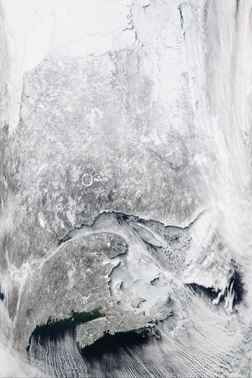
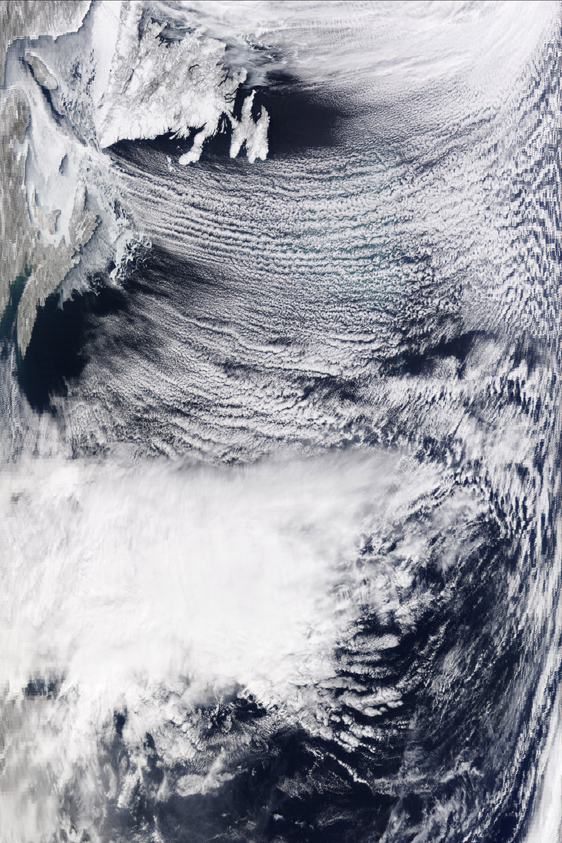
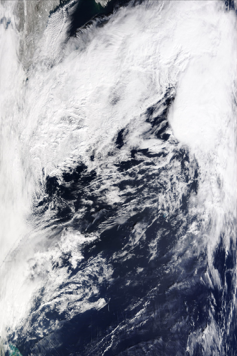
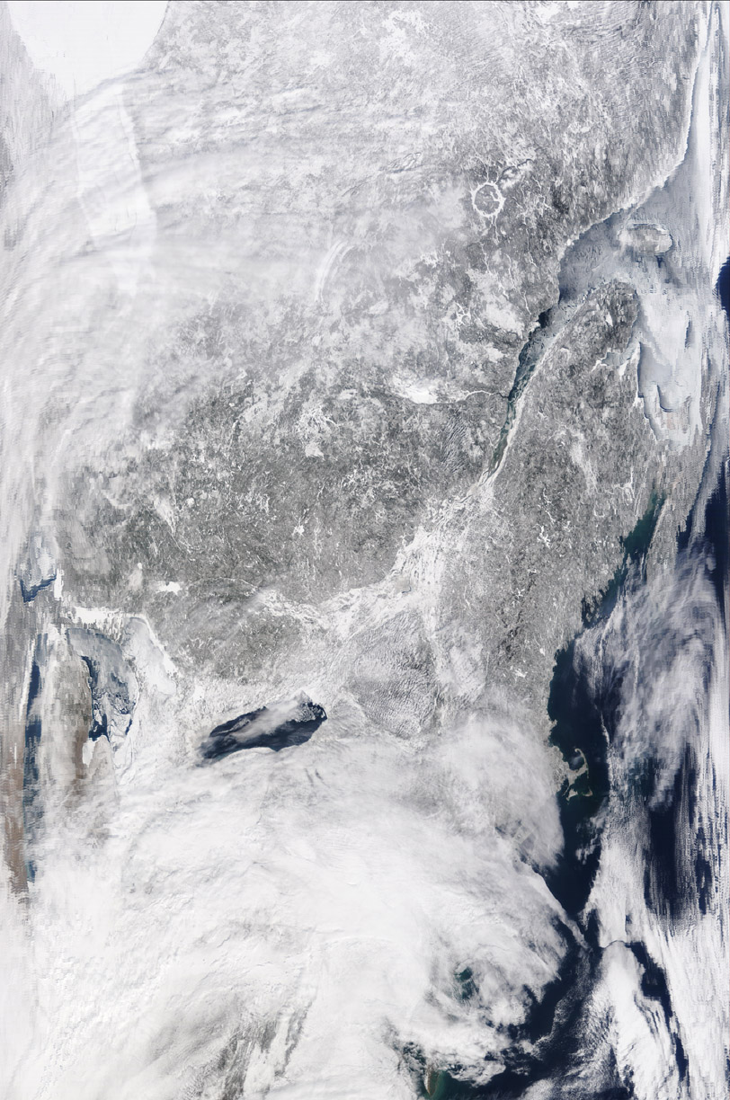
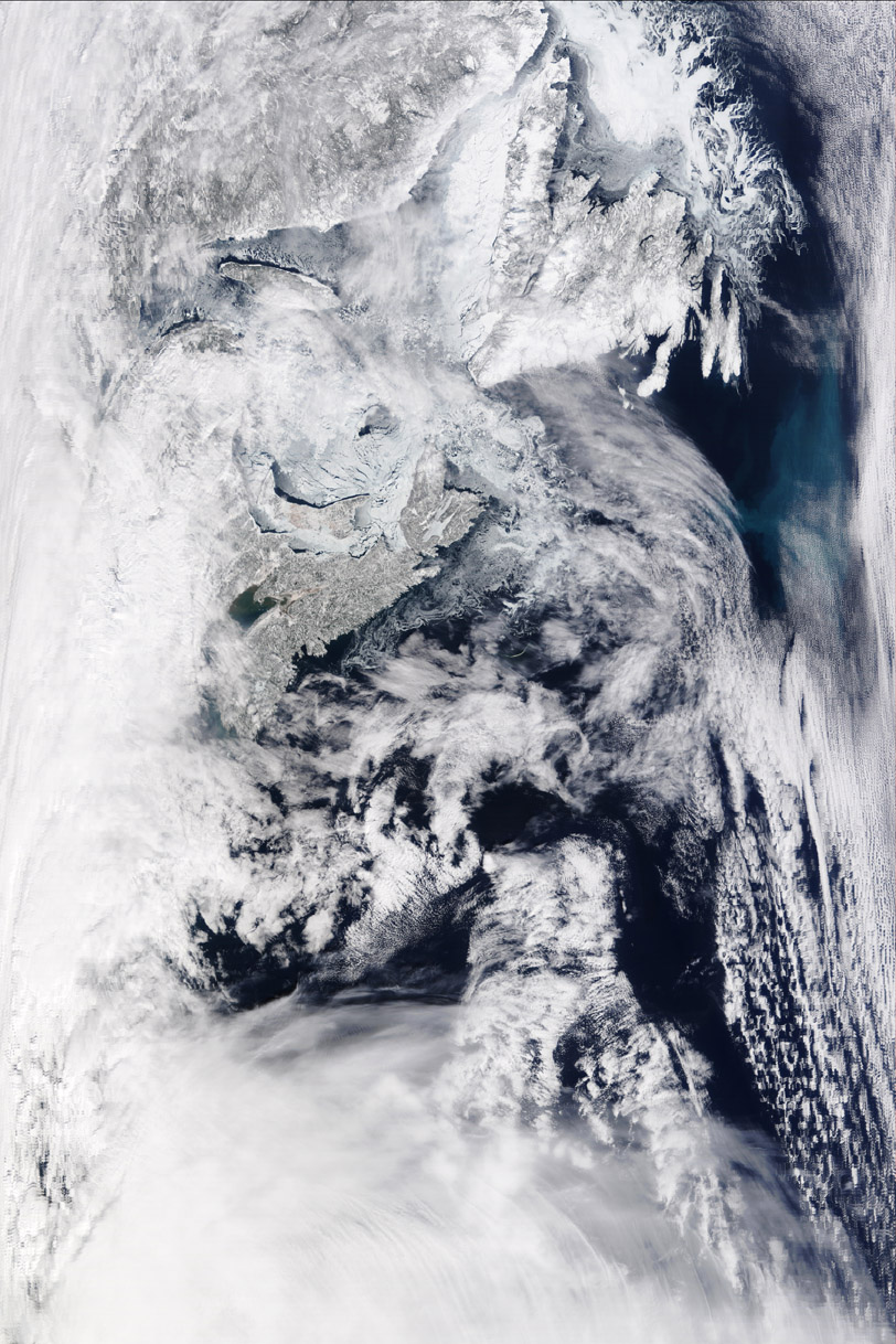
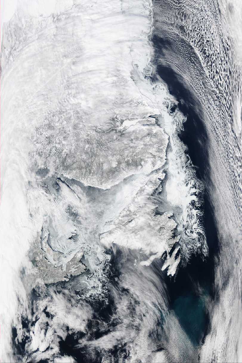
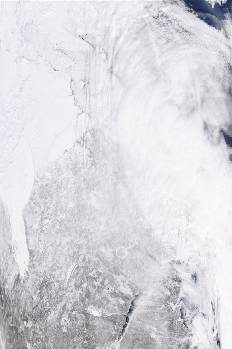
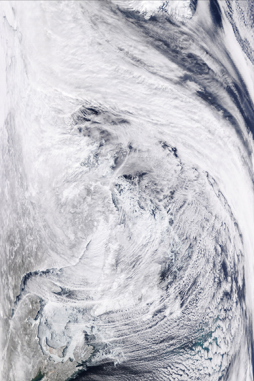
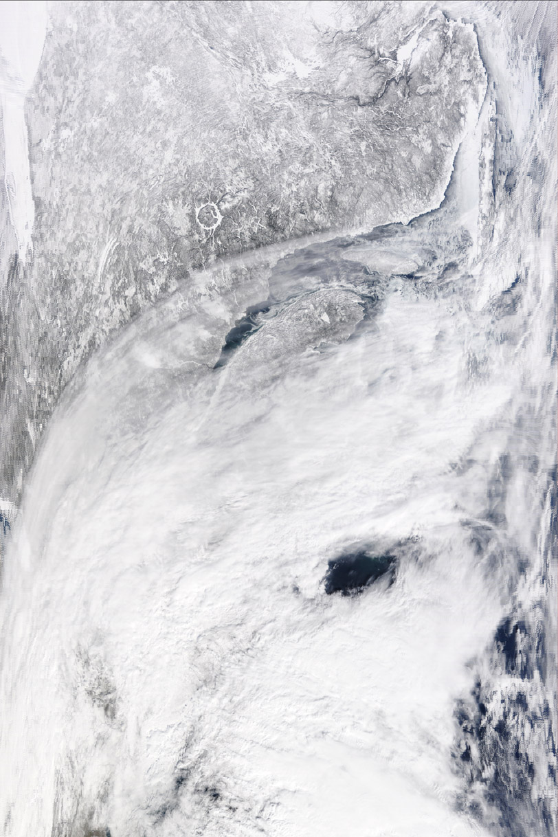
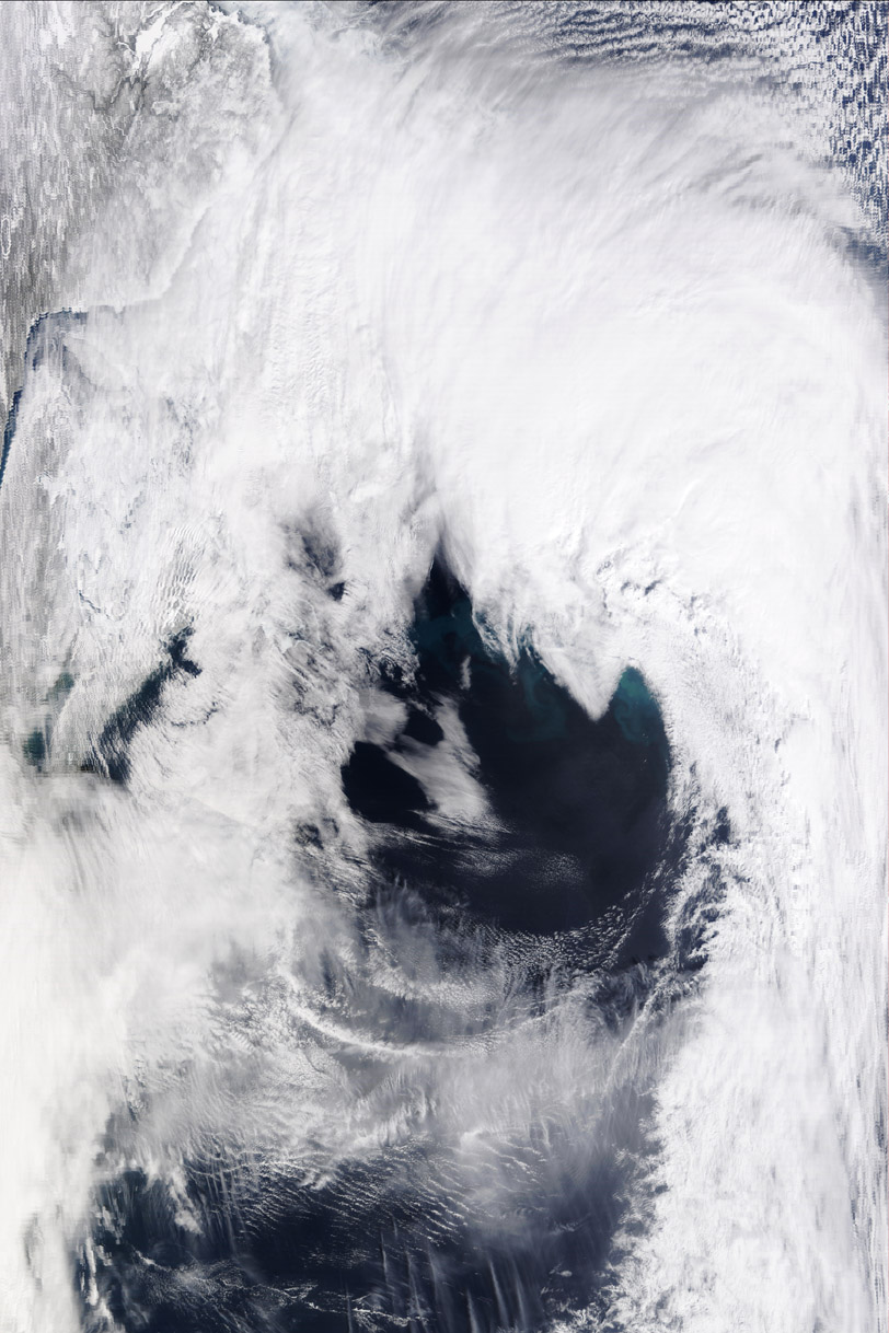
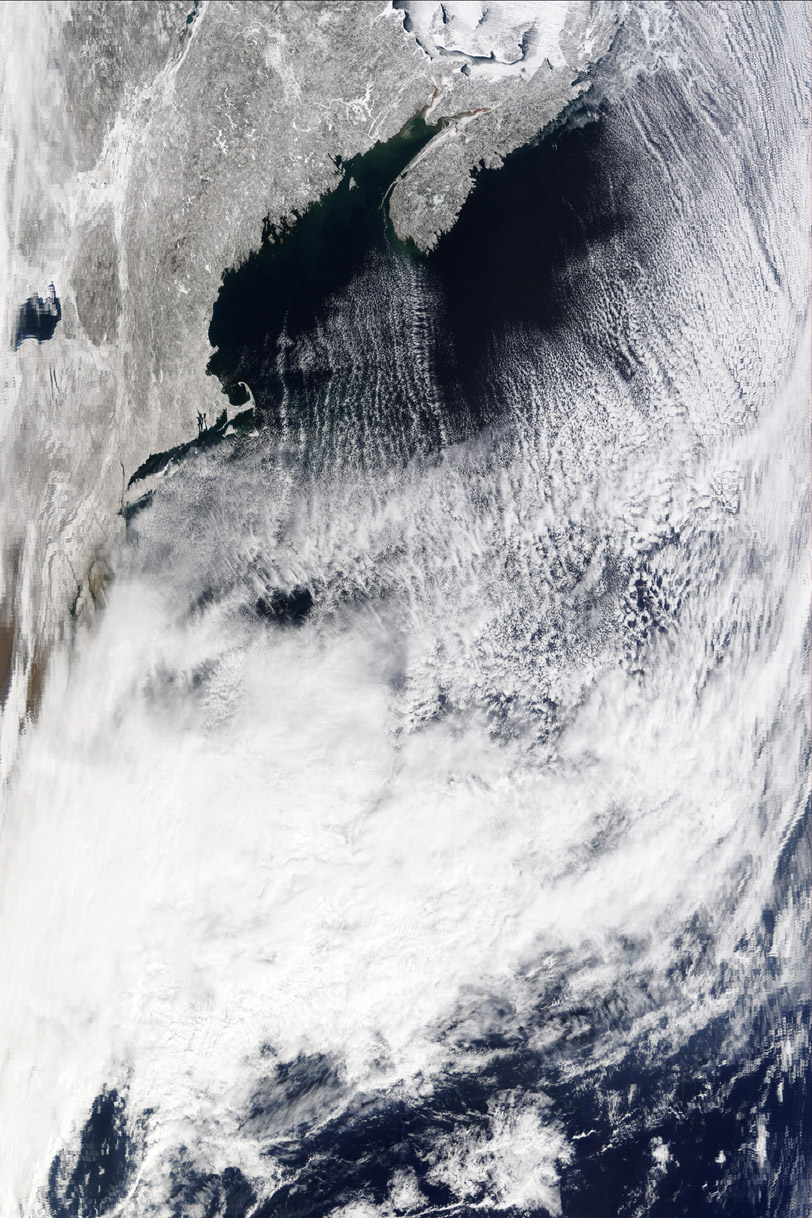
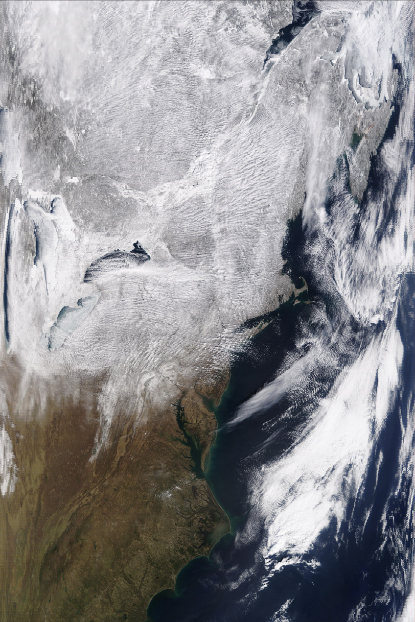
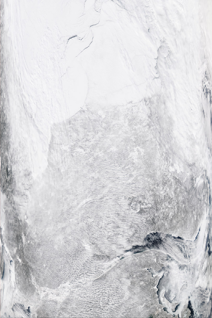
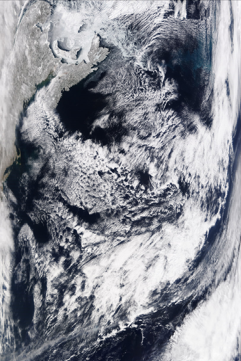
Table 3.5.2 lists all MODIS data collected during the project period.
Back to Table of Contents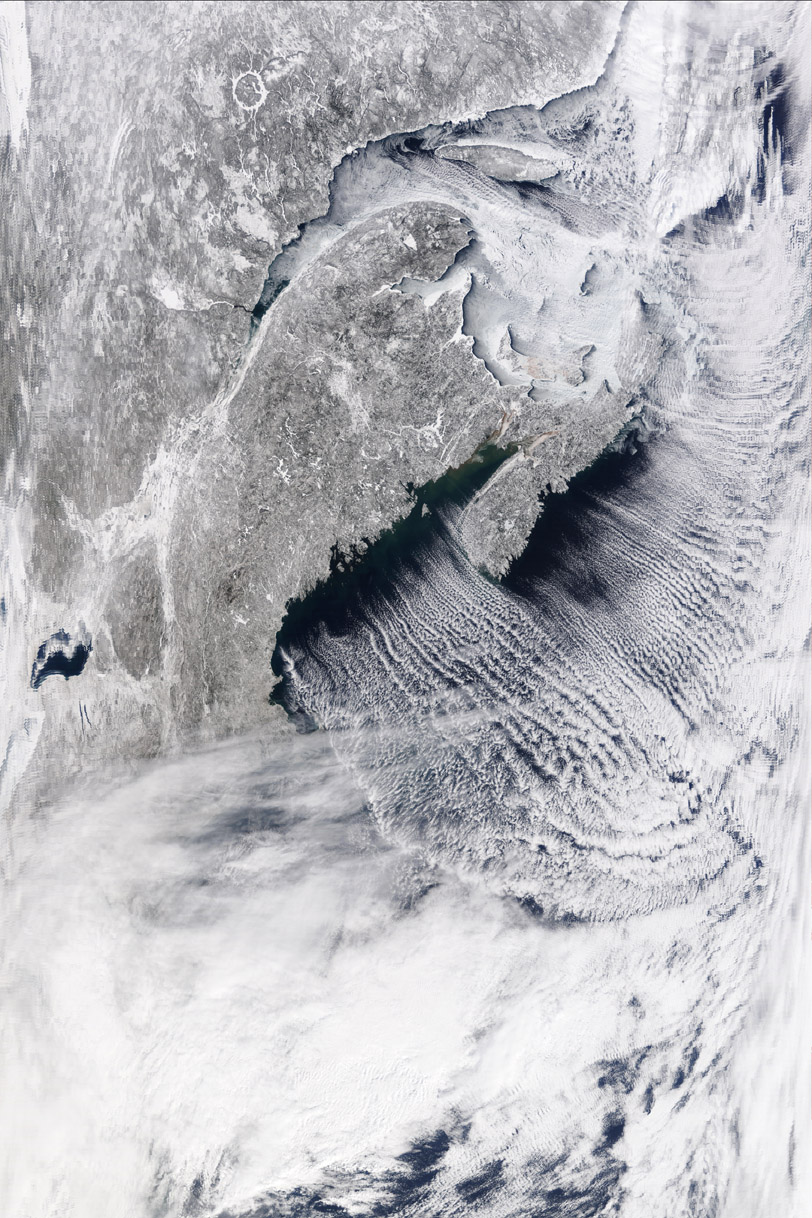